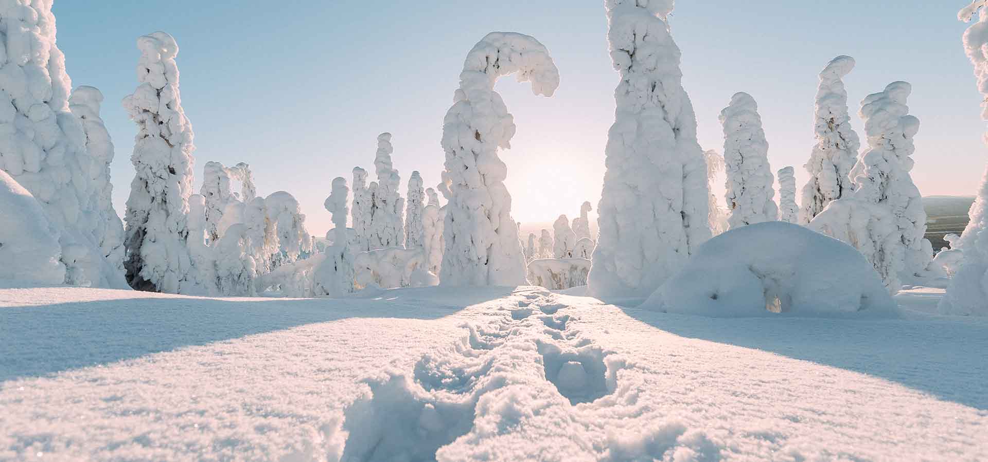
Hiking on Sallatunturi
Hike into the winter wonderland of Salla National Park! The National Park offers a peaceful escape from light pollution, where you can listen to the sounds of snow-laden trees, admire the clear starry sky, and be enchanted by the glow of the Northern Lights. The Salla area boasts over 300 km of hiking and walking trails, including the UKK Trail which passes through Salla. You don’t have to complete all routes; you can also walk sections of them. Some routes are circular, while others are out-and-back.
Each trail has its own story and secrets, which you can explore online beforehand and immerse yourself in during your hike. From our rental shop, you can hire snowshoes, sliding snowshoes, skis, and e-Fatbikes for your trip.
For families with children, we recommend, for example:
- The trail around Lake Keselmäjärvi, which can even be done with a pram.
- Ämmi’s Path, where you can bring your own ‘ämmi’ (grandma) along.
- Salmijoki Gorge (you can drive within 800m of the gorge via Kemijärvi road/Rojula road).
- Karhutunturi hiking trail, offering spectacular views of the wilderness of Northern Salla.
For a day trip, we recommend, for example:
- The Sky Seeker’s Trail climbing to the top of Sallatunturi
- Kaunisharju Loop around the Ski Centre and Kaunisharju area.
- The Pahakuru Loop around the Sallatunturi fells
- The path climbing high into the magnificent landscapes of Ruuhitunturi.
- The Canyon Peek located in Oulanka National Park
For multi-day hikes, we recommend:
- Topsakantaival from Karhunkierros Nature Centre (Hautajärvi) to Sallatunturi
- Tuntsa Trail following in the footsteps of A.E. Järvinen
- Keroharju Trail in Oulanka National Park
- And of course, the famous Karhunkierros
More information about the trails:
The Salla hiking and walking trails have undergone an official outdoor trail classification, where routes are categorised as easy, moderately challenging, or challenging based on factors such as terrain elevation differences, ground surface, and trail markings. Difficulty levels and marking symbols:
| Route description | Elevation differences | Ground surface | Signposting and terrain markings | Average progress speed |
|---|---|---|---|---|
| Easy route | Few elevation differences. Average elevation difference is 50 m/km. | Even surface, and the ground is prepared or equipped with duckboards where necessary. | Clearly signposted and marked in the terrain. | ~ 12-15 min/km |
| Moderately challenging route | Some elevation differences. Average elevation difference is 120 m/km. | Allows for some difficult-to-traverse sections. | Clearly signposted and marked in the terrain. | ~16-20 min/km |
| Challenging route | The route has steep or difficult-to-traverse sections. | The route may include a section requiring wading. | There is a discernible path and track in the terrain, and the route may have minimal signposting. | ~over 21 min/km |
Download the hiking and cycling trail map for the Salla area from the Visit Salla website.
It is advisable to acquire a proper map of the area. The routes in the Sallatunturi and Salla village areas can be found on a separate hiking map, and other routes on the Salla outdoor and recreation map. Both maps are available for purchase at tourist information, accommodation receptions, and Salla Reindeer Park, among other places.
Hiking map on your phone
You can easily find Salla’s hiking trails on your phone using the Outdoor Active service and its iOS or Android apps. Outdoor Active is a versatile application that allows you to find Salla’s cross-country skiing, hiking, and cycling trails, as well as interesting sights and rest stops, all in one place. The Outdoor Active service can also be used via a mobile-optimised app (iOS or Android), which then operates with a continuous internet connection. The Outdoor Active app brings together all essential information about the routes, including their descriptions, route profiles and difficulty levels, lengths, durations, and photos.
Salla is known for its wilderness, and an internet connection is generally not available in the terrain. Therefore, always ensure the safety of your trip by preparing appropriately (bring snacks, drinks, warm clothing, and necessary first aid supplies, and download the 112 app to your phone for emergencies), choosing a route according to your skill level, and taking a paper map and compass with you for longer treks.
Ask about guided trips: ski@salla.fi or +358 16 837 711